


Autocamperplads
Vågn op omgivet af træer og som nabo til nys-gerrige heste. Strøm, vandforsyning, bruser og toiletter til rådighed. Vaskemaskine, tørretumbler og gratis WiFi. Fællesrum med pavillon og TV. Åben året rundt. Hunde tilladt i snor.
Oplevelser og aktiviteter


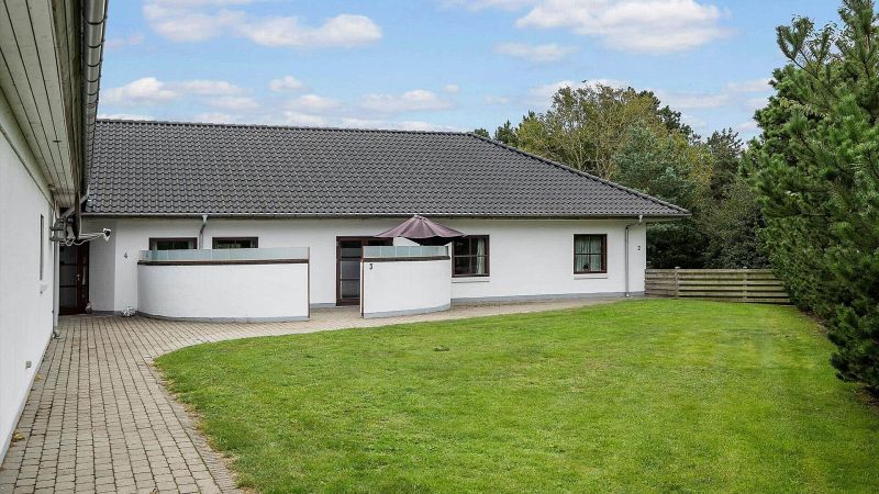
Lejlighed 1
72 m² komfort-lejlighed i "Oasen". 2 soverum, 6 personer, husdyr tilladt. Velindrettet med fladskærm TV, køkken med moderne faciliteter og adgang til sauna. Dejligt fællesareal med pavillon og afskærmet terrasse.
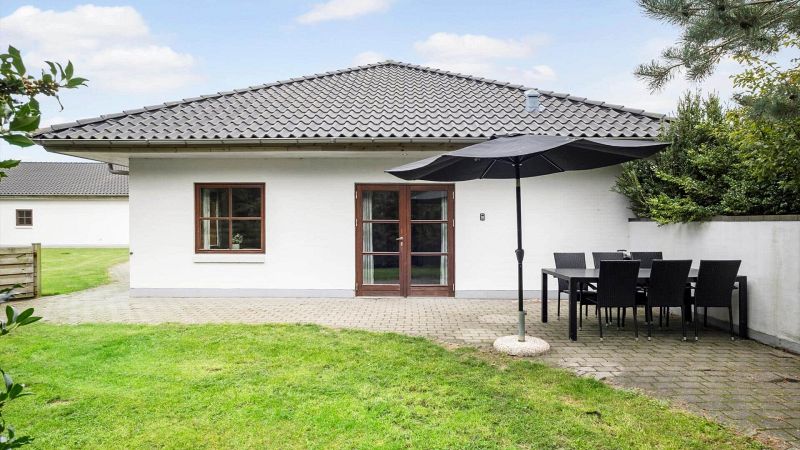
Lejlighed 2
80 m² komfortlejlighed i "Oasen". Flot indretning, dejlig stue med underholdning, fuldt udstyret køkken og rummelige sove-værelser. Lyst badeværelse med spabad og sauna. Egen terrasse og indhegnet grund.
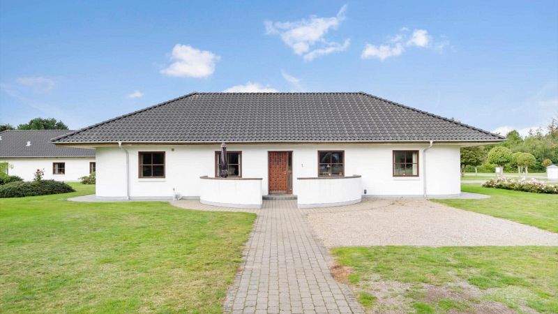
Lejlighed 3
80 m² komfortlejlighed i "Oasen". Flot indretning, hyggelig stue med underholdning, fuldt udstyret køkken og rummelige soveværelser. Lyst bade-værelse med spabad og sauna. Lukket terrasse og fællesarealer med pavillon.